UC Gets FAA Clearance to Research Drone Use in Ag
A UC laboratory at the former Castle Air Force Base in Atwater received clearance from the Federal Aviation Administration to fly dones at the Merced County Radio Control Club’s field, reported Thaddeus Miller in the Merced Sun-Star.
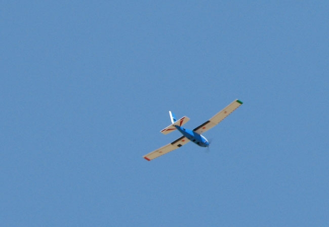
The unmanned aircraft are part of a project funded by the UC Division of Agriculture and Natural Resources that aims to study the possible use remote controlled aerial imaging to provide real-time information to farmers about water use and crop health.
The project leader, David Doll, UC Cooperative Extension advisor in Merced County, has put together a project team that includes UC Merced professors and graduate students, and UCCE advisors and staff.
Drones are also known as unmanned aerial vehicles (UAVs). Doll believes small, basic UAVs can provide a platform for imaging hardware that can vastly improve crop surveillance to enhance water usage and pest control.
Doll’s project will test the potential of UAVs for water management and pest monitoring. He also plans to write a curriculum to extend information to farmers and demonstrate the use of small, remote controlled aerial vehicles as imaging platforms.
UC Merced also has other plans for using drone technology in research. They are seeking FAA approval to fly the aircraft over the university’s protected land, which includes 6,500 acres of grassland and vernal pools.
Dan Hirleman, dean of UC Merced’s School of Engineering, said the university’s use of drones and development of new technology could set it apart from other schools.
“We’re kind of at the ground zero for a lot of what’s going on in those areas,” he said. “It’s just a perfect fit with our sustainability theme and the application area.”


