New Aerial Images to Help Almond Farmers
Aerial Image Tools Help Almond Irrigation
By Patrick Cavanaugh, Farm News Director
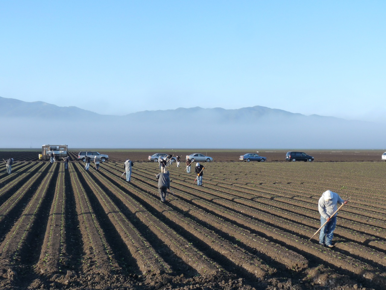
Aerial images of orchards can effectively tell farmers which almond trees aren’t getting enough water, according to the preliminary results of a five-year study by almond researchers at the University of California Cooperative Extension (UCCE), with funding support from the USDA.
Researchers from the UCCE are confirming the utility of Ceres Imaging’s new-to-the-industry aerial views of farmland that helped the startup win a water innovation competition last year. The preliminary results follow four years of replicated research plots in a large commercial almond orchard.
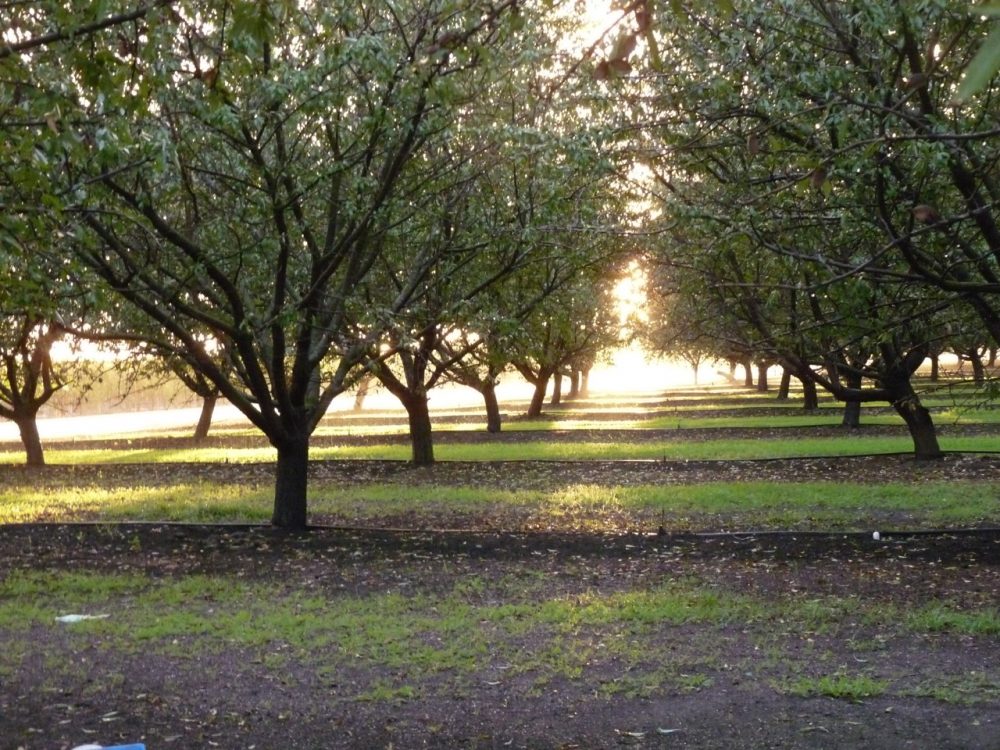
![]() Why does almond irrigation matter? California only recently emerged from a major drought, and for almond growers, water efficiency is a top priority. Since 1990, California farmers have increased the use of sprinklers and micro-irrigation systems from 33 percent to 57 percent of total acreage. But micro-irrigation, the method that usually offers the highest water use efficiency (crop per drop) is prone to clogging and other maintenance problems, which can stress crops and reduce yield.
Why does almond irrigation matter? California only recently emerged from a major drought, and for almond growers, water efficiency is a top priority. Since 1990, California farmers have increased the use of sprinklers and micro-irrigation systems from 33 percent to 57 percent of total acreage. But micro-irrigation, the method that usually offers the highest water use efficiency (crop per drop) is prone to clogging and other maintenance problems, which can stress crops and reduce yield.
“Water is the number one input for most growers and is managed carefully in terms of how much is used and when,” said Ashwin Madgavkar, CEO and founder of Ceres Imaging. “This study shows that Ceres imagery can be used with high confidence to monitor if your crop is getting sufficient water or if the crop is in a water-stressed condition, so you can make timely corrective actions. Ultimately, the tool can be used to help catch issues before they result in crop losses.”
Maintaining ideal irrigation levels is a huge challenge for farmers, as is predicting the final harvest tonnage, which is why the study examined the usefulness of Ceres aerial images in those areas. Detecting deficient irrigation quickly is one way Ceres images offer early warnings to growers.
“Findings over the last four years show that the average Ceres conductance measurement from their imagery over the season has provided the best correlation with applied water,” reported Blake Sanden, UCCE Farm Advisor for Kern County. “While there’s no perfect predictor of final yield, Ceres aerial sensing of canopy plant stress has a significant relationship with final yield.”
This UCCE study has been under way since 2013 and will end after results for 2017 are recorded.